7.2 miles (11.6 km) with 186m of total ascent
 |
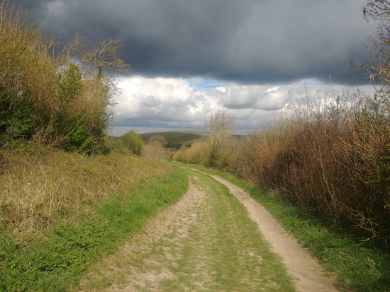
| The bridleway between points 18 and 19 |
 |
| The bridleway between points 18 and 19 |
 |
| The Icknield Way soon after point 19 in the walk |
 |
| The view as you leave Much Hadham |
 |
| Buntingford bridleway 4 at point 24 in the walk |
 |
| Bluebells along Devil's Dyke between points 30 & 31 |
 |
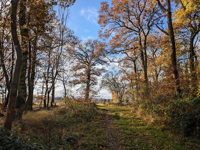
| Knebworth footpath 25 approaching point 7 |
 |
| Photograph taken along the route Image courtesy of Norman Osland |
 |
| A bridleway on the return leg to Buntingford |
 |
| The gate at point 15 in the walk |
 |
| Walkern footpath 41 soon after the start of the walk |
 |
 |
| Pirton footpath 5 between points 2 & 3 |
 |
| St Paul's Walden restricted byway at point 7 |
 |
| Flamstead footpath 47 between points 7 & 8 |
 |
| The bridleway between points 6 & 7 |
 |
| The route between points 8 and 9 |
 |
| A bridleway along the route |
 |
| Countryside & Rights of Way Service volunteers repairing a ROW |
 |
 |
| Scene from Walk 118 at point 9 |
