6.4 miles (10.2 km) with 85m of total ascent
This walk starts and finishes in the village of Weston. According to an information board in village (embedded below the following directions) there is evidence of
Neolithic occupation in the area dating from 8,000 to 4,000 BC, “succeeded by Celts, Romans, Anglo-Saxons, Vikings, and Normans”. Weston has two pubs. At the halfway point in this walk you pass through Graveley which also has two pubs.
We have been told by walkers who follow our routes that The Red Lion, which is mentioned in the following directions, is currently open for special events only. We have contacted the pub asking for clarification and will update these directions when we know more.
There is a 280m section of lane at point 10 in this walk where there isn't a pedestrian pavement. Please be aware of this before deciding to do the walk.
Fly through preview of walk
If you want to check what sort of landscape you will be crossing before you set off on this walk you can view a short 3D video of the route below. It's created using the free version of
Relive.
Directions
 |
Map for Walk 124: Weston South-West Loop
Click on the map above for a larger version
Created on Map Hub by Hertfordshire Walker
Elements © Thunderforest © OpenStreetMap contributors
There is an interactive map below these directions |
Those with GPS devices can download
GPX or
KML files for the walk. We've added
What3Words references for those who use that system. If you print these walks you might want to use the green
PrintFriendly icon at the bottom of these directions to delete elements.
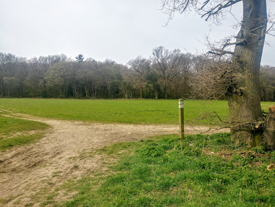 |
| At the bridleway junction mentioned in point 1, turn left and head SSW |
1: From the village of Weston head S from The Red Lion pub (location:
https://w3w.co/shed.flat.alien) along Damask Green Lane looking for Rowan Close on the right. You will see a bridleway sign pointing down the close. This is the start of the walk (location -
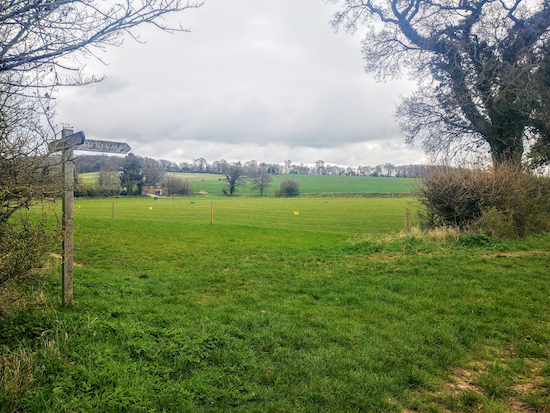
https://w3w.co/boots.issued.cloth). Turn right here. When you reach the end of Rowan Close take Weston bridleway 17 then head WSW for 1.2km until you reach a junction just before How Wood (see image above).
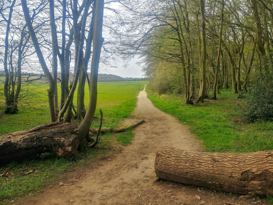 |
| Graveley bridleway 5 cutting through How Wood |
2: Turn left at this junction then head SW, now on Graveley
bridleway 5. The route cuts through How Wood (see image above). There are a couple of benches along this stretch at (location -
https://w3w.co/sorry.walks.occupy) and (location -
https://w3w.co/boom.melon.eagle); a chance to pause and take in the view. Continue for 860m down Brooks Hill (see image below) until you come to a gravel track with St Mary’s Church on the right.
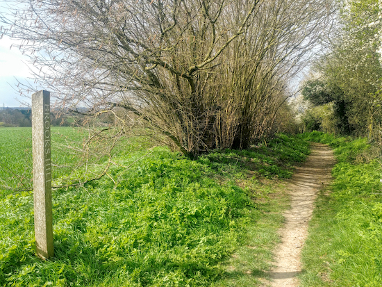 |
| Graveley bridleway 5 over Brooks Hill |
3: Turn left then head SSW for 50m and then SSE for 50m before turning right then heading WSW along Church Lane for 450m until you reach High Street Graveley.
4: Turn left on High Street then head S for 380m passing
The Waggon and Horses and
The George and Dragon pubs on your right. Continue uphill looking out for a
footpath on the left just after the 40mph sign (see image below).
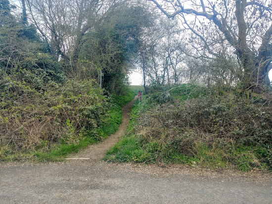 |
| Graveley footpath 6 mentioned in point 5 below |
5: Take this path, Graveley footpath 6, then head uphill, first E for 110m then NE for 380m until you reach a footpath on your right (see image below).
 |
| The junction with Graveley footpath 7 mentioned in point 6 below |
6: Take this path, Graveley footpath 7, then head SSE with the hedgerow on your left and the fields on your right. Continue across open fields towards the pylons for 760m until you reach a junction (location -
https://w3w.co/zoom.final.necks).
 |
| The point where Graveley bridleway 8 meets the lane |
7: Turn left on Graveley bridleway 8 then head NE for 680m until you reach a lane. You might spot a sign for
The Forster Country Walk just before the lane.
 |
| Graveley footpath 9 passing Harbourclose Wood, mentioned in point 8 below |
8: Continue heading NE along the lane for 280m. When you reach a right-hand bend (location -
https://w3w.co/moral.blast.shall) you will see Graveley footpath 9 on the left which head NNE. Follow this footpath for 760m until you pass Harbourclose Wood on the right and then reach Stonesley Wood on the left. There is a bench along this stretch at (location -
https://w3w.co/cope.splice.each) if you need a rest.
 |
| The point where you take Weston footpath 40 mentioned in point 9 below |
9: Continue heading ENE, now on Weston footpath 18, for 440m until the track becomes Weston footpath 40 (location -
https://w3w.co/palace.maybe.intent). Continue heading ENE for another 440m until you reach Back Lane.
10: Turn right on Back Lane then head SSE for 280m looking out for a footpath on the left (location -
https://w3w.co/slams.baking.maps).
Note: There isn’t a footpath along this short stretch of lane so please take care.
 |
| Go through the gate, mentioned in point 11 below |
11: Take this path, Weston footpath 22, then head NNE for 560m ignoring a path on your right and continuing until you reach a junction (location -
https://w3w.co/arrive.organs.paints). Cross the metalled track, go through a kissing gate, then take the right-hand fork and continue heading NNE for 310m until you reach another junction. Cross a track then continue along Weston footpath 22 for another 360m until you leave the woodland (location -
https://w3w.co/moped.blatantly.ages). At this point the path splits with the right-hand fork going to the church. But your way is straight and NNE, still on Weston footpath 22 for another 160m until you reach a junction.
12: Turn left here on Weston footpath 20 then head W for 500m with the playing fields on the right and continuing back to the village and the starting point.
There is a choice of two pubs in Weston. As well as The Red Lion mentioned at the start, there is also the
The Cricketers pub which is 70m S of Rowan Close.
Information board on Weston village green
There is an information board on the village green (location -
https://w3w.co/admit.newly.loans) which has interesting facts about Weston and its history. The image below is copyright must not be reproduced without the permission of the copyright holder. This site has been given permission to embed the image on this site.
Interactive map


We did this walk on Saturday afternoon and thoroughly enjoyed it. A variety of landscapes and terrain, including field boundaries, open meadows and grazing land, two villages, and woods - which were covered with carpets of bluebells, absolutely stunning! We recommend a visit to the Cricketers in Weston at the end of the walk. The route was easy to follow - a compass is useful but it is mostly well waymarked. Lots of interesting conversations with fellow walkers we met on the way. One we would definitely do again.
ReplyDeleteGlad you enjoyed it. We love that walk. And you are right, The Cricketers is a good place to stop for refreshments. Nice you got to talk to other walkers; perhaps they were following the same route.
DeleteDavid
Did this walk this morning despite most of the paths being very wet and sloshy with all the recent rain. Loved it . Largely open countryside with some smashing views from several well placed benches located along the way . Nice and quiet apart from the Sunday morning gun club near How Wood at point 2..! Some sad news as I think the Red Lion in Weston is no longer , although there was a sign indicating that it could be hired as a venue , so perhaps something is still going on there . All the best Mick ..
ReplyDeleteHi Mick, glad you enjoyed it, despite the conditions underfoot. Sad about the Red Lion. I see the last review on TripAdvisor was July 2020, and the last post on their Facebook page was September 2021. Sad when our local pubs close; for us they are part of the joy of walking in the Hertfordshire countryside.
DeleteDave